Surveying, bed inspection and design
A good decision starts with measurement. Ultrasonic imaging, 3D bed mapping and multi-layer sampling tell us what is under the water — and we come back with three quantified solution paths.
Surveying is the key to climate adaptation, too: if we don’t know exactly how much sludge is present, how much retention capacity has been lost, and what the water quality dynamics look like — we are guessing. We don’t guess. We measure, we document, and we recommend what the numbers point to.
What we do, in concrete terms
- Ultrasonic imaging with centimetre accuracy, 3D bed mapping
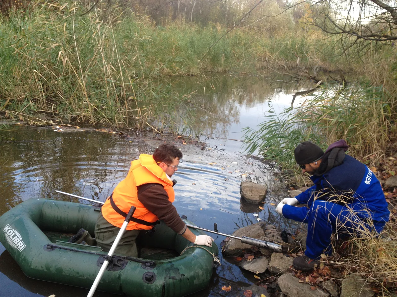
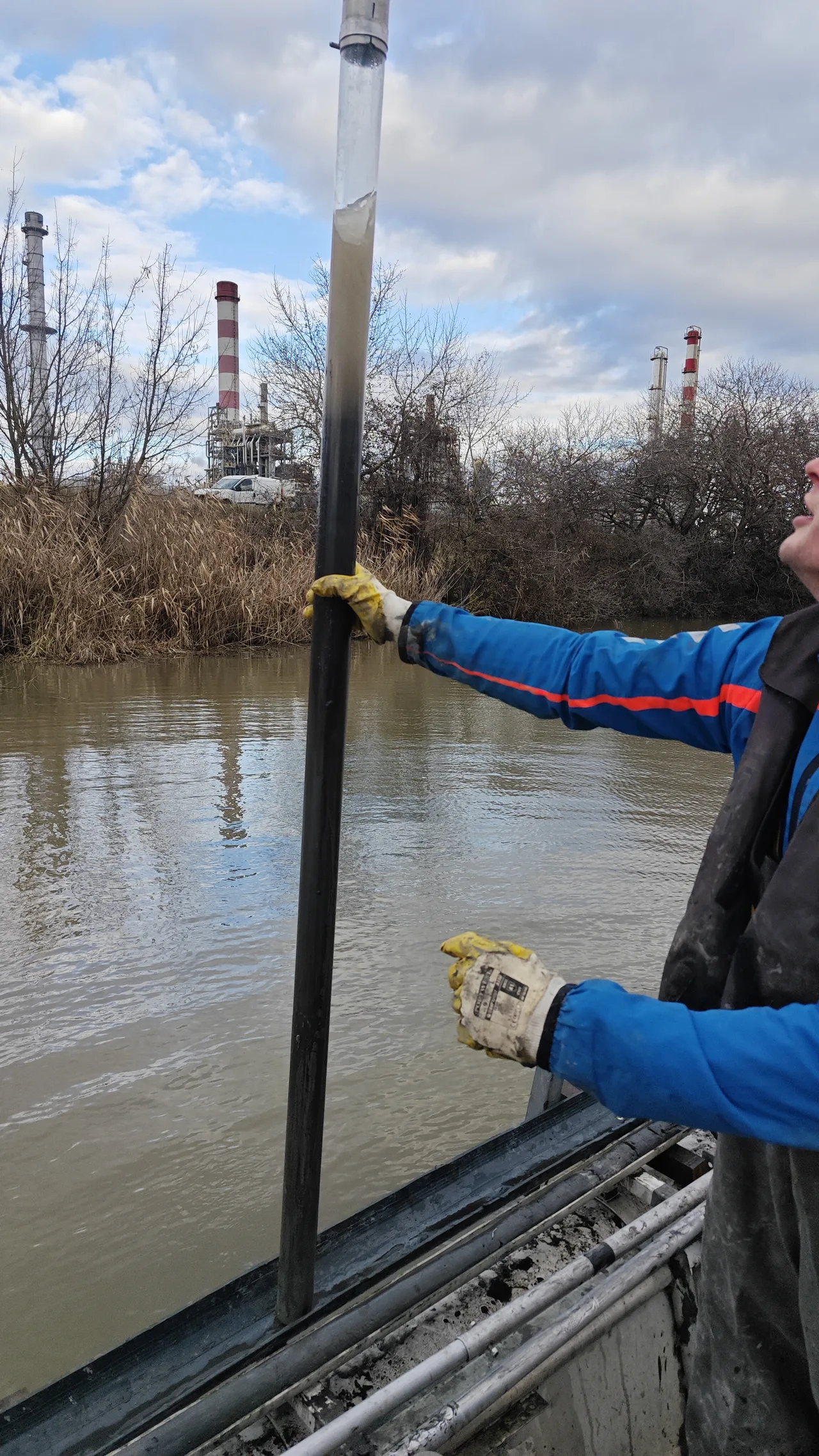
- Multi-layer sediment sampling (the biologically active top layer + the compacted lower layer)
- Physico-chemical lab analysis (organic content, N, P, K, heavy metals)
- Parameterised water sampling (dissolved oxygen, pH, conductivity, temperature stratification)
- Satellite and drone imagery across the whole water surface
- On-site interview with the lake’s operator or anyone working the area
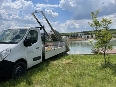
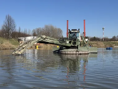
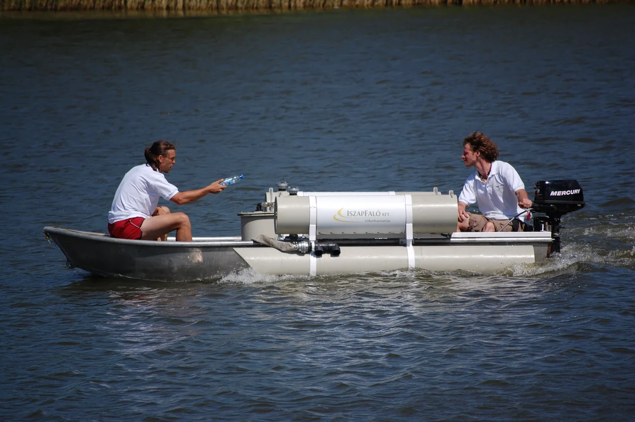
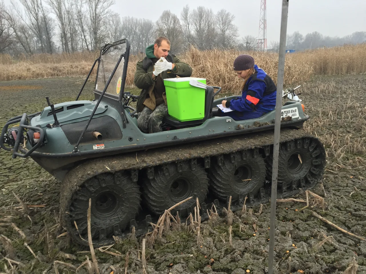
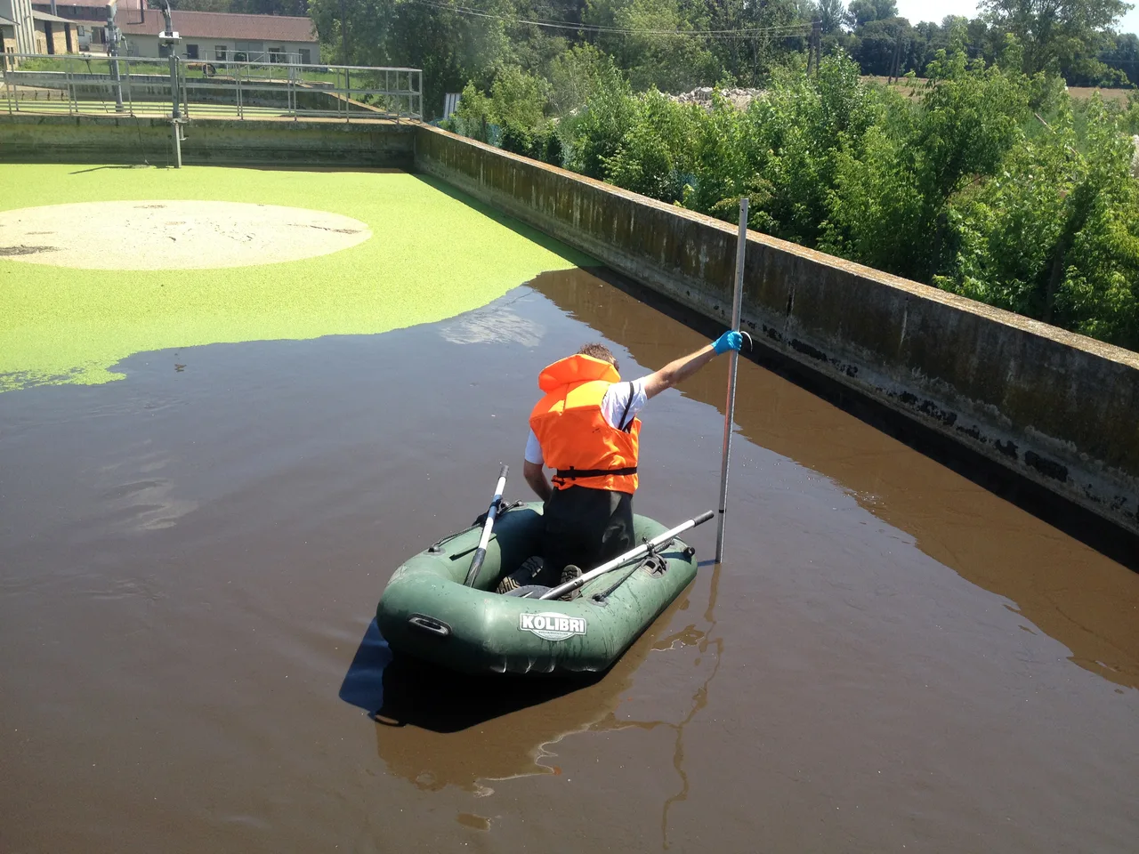
Gallery — at work
Typical use cases
Angling lakes, swimming lakes, protected areas, industrial settling basins, fish ponds.